
Intelligence Solutions
SkyBridge MEBA delivers outcomes and intelligence products — not simply flight hours. Each capability is structured around a real-world problem, with defined deliverables designed for institutional decision-makers.
Capability → Use Case → Deliverable
Each intelligence area is defined by what we can assemble, the real-world problem it addresses, and the tangible product the client receives.
Aerial Intelligence & UAS Operations
Unmanned aerial systems deployed for survey, inspection, mapping, observation and data acquisition across diverse environments.
A location, asset, environment or territory requires direct aerial observation, high-resolution imagery or spatial data collection.
- •Aerial survey datasets and orthophotos
- •High-resolution inspection imagery
- •Observation reports and situational-awareness products
- •Raw and processed aerial data for downstream analysis
Geospatial Intelligence, GIS & Mapping
Geo-referenced data collection, spatial analysis, photogrammetry, remote sensing, digital terrain modelling and cartographic production.
Distributed public assets need to be located, mapped and monitored, or spatial information is needed for planning, verification or decision support.
- •GIS asset registers and spatial databases
- •Georeferenced maps and cartographic products
- •Digital terrain and surface models
- •Spatial dashboards and decision-support layers
Environmental & Ecological Intelligence
Environmental monitoring, change detection, pollution surveillance, ecological assessment and compliance-support intelligence.
Suspected forest loss, ecological change, pollution incidents or environmental non-compliance requires verification and evidence-led reporting.
- •Change-detection analysis and temporal comparisons
- •Targeted observation reports with geo-referenced evidence
- •Environmental intelligence reports for compliance and regulatory use
- •Ecological risk and exposure assessments
Infrastructure & Asset Intelligence
Condition visibility, inspection intelligence, change detection and risk-exposure assessment for infrastructure networks and built assets.
Geographically dispersed infrastructure requires condition visibility, or a project needs verified progress reporting and asset accountability.
- •Asset maps and infrastructure inventories
- •Inspection intelligence with condition grading
- •Risk and exposure reports
- •Project-progress verification products
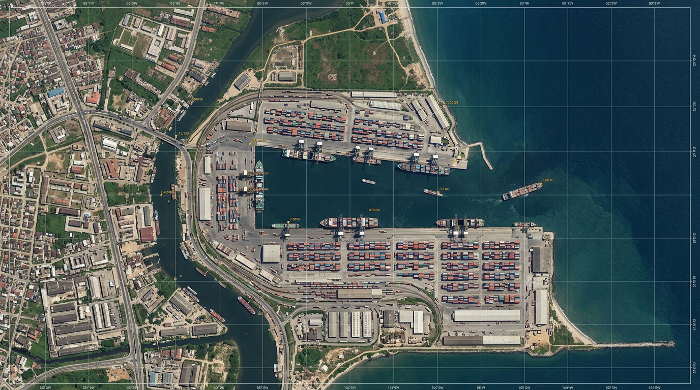
Maritime & Blue Economy Intelligence
Coastal, marine-domain, port-area, fisheries and inland-waterway intelligence designed to support maritime operations and the blue economy.
Coastal environments, port infrastructure or marine resources require monitoring, mapping or situation reporting for operational or regulatory purposes.
- •Coastal and shoreline mapping products
- •Port-area and maritime-domain surveillance reports
- •Fisheries and marine-environment intelligence
- •Blue economy asset inventories and spatial layers
Agriculture & Climate Intelligence
Emerging capabilityEmerging capability supported by geospatial, remote-sensing and environmental intelligence systems for crop monitoring, land-use mapping and climate resilience.
Agricultural zones, land-use patterns or climate-exposed regions require monitoring intelligence for food security, planning or resilience assessment.
- •Crop-health and vegetation-index mapping
- •Land-use and land-cover classification products
- •Climate-resilience and exposure assessments
- •Agricultural intelligence reports for institutional decision support
Digital Analytics & Decision Systems
Data processing, pattern analysis, dashboard development and digital tools designed to convert raw data into structured, decision-ready intelligence.
Large or complex datasets need to be processed, visualised and presented in formats that support institutional oversight, reporting or strategic decisions.
- •Processed and structured analytical datasets
- •Interactive dashboards and visualisation products
- •Intelligence reports and decision-support briefs
- •Custom data-processing and reporting workflows
Autonomous Logistics & Future Aviation Solutions
Proposed solutionsProposed solutions for autonomous delivery of medical supplies, emergency materials and critical logistics to difficult-to-access locations.
Remote or underserved communities need reliable delivery of medical supplies, vaccines, blood products or emergency materials where traditional logistics fail.
- •Autonomous delivery route planning and feasibility assessments
- •Pilot programme design for medical and emergency logistics
- •Logistics intelligence and operational-readiness reports
- •Scalability and integration frameworks
Target Market Sectors
Delivering specialised aerial intelligence solutions to Nigeria's most critical industries and institutions.
Government MDAs
Federal & State Ministries
Healthcare
Hospitals & Medical Centres
Oil & Gas
Upstream & Midstream Operations
Maritime
Ports & Offshore Facilities
Agriculture
Farming & Food Security
Security
Defence & Emergency Response
Education
Universities & Research
Telecoms & Utilities
Infrastructure & Networks